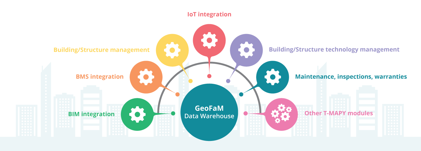
GeoFaM is an open, easy to configure platform which provides support throughout the entire life cycle of buildings and structures and their technologies.
Basic Benefits
- Locating energy shut-off valves and carriers during emergencies
- Detection of extreme rates of flow/usage rates – leaky equipment, outflow in retention tanks
- Blueprints of current electric wiring
- Inspections and reviews of (non-)existing equipment
- Fire extinguisher inspections
- Elevator maintenance and inspections
- Cleaning services, window and facade washing
- Exterior areas maintenance – winter sidewalk maintenance
- Record-keeping for properties – inventory checks
- Cost distribution
- Indoor navigation
- Fire safety documentation
- Room access based on reservation schedule
- …
Main Features
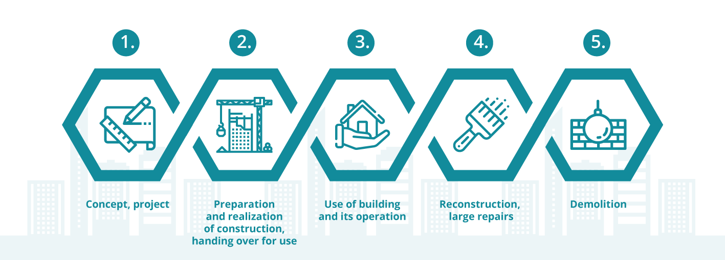
Can be deployed in any phase of building life-cycle
Geo-information support of facility management (FM) and information management processes and tasks (BIM)
Support for maintenance of buildings, structures, and their technologies
Space management support
Support for fire and site safety
Energy management support
Integration, processing, and visualization of building, structure, and technology usage data
Collection, storage, analysis, and visualization of IoT sensor data
Recording and history tracking
Custom settings regarding level of detail in recorded data
Platform Modules

Geo-information Support
To ensure effective operation, maintenance, and management of buildings and structures and their technologies, it’s necessary to store and share all available current and relevant information regarding:
- Buildings and facilities in terms of their structure – clear identification of buildings and facilities and their parts, features, etc.
- Structural design of buildings and structures, their openings, fillings, and surface coverings
- Condition of structures
- Building and structure technology
- Utilization of structures and buildings and their parts
- Status and operation of technologies
- Energy and media usage
- Other critical information
Since sites, buildings, and structures are always situated in the same specific, permanent location on the Earth’s surface, it has proven very useful to record their spatial context (shape and location in relation to Earth’s surface). All information about buildings and structures can then be easily integrated with information about neighboring and other related buildings and structures, as well as other information about further facilities and occurrences in the surrounding world which have a spatial context. The information related to the buildings and structures and their operation can be effectively displayed and analyzed on 2D and 3D maps.
Life Cycle of Buildings and Structures
