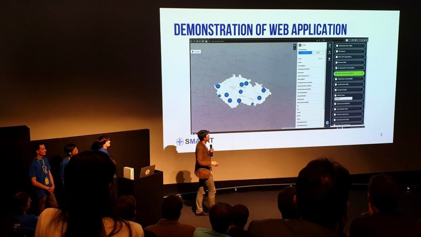
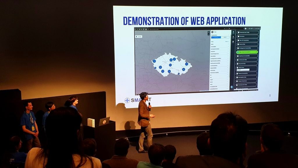
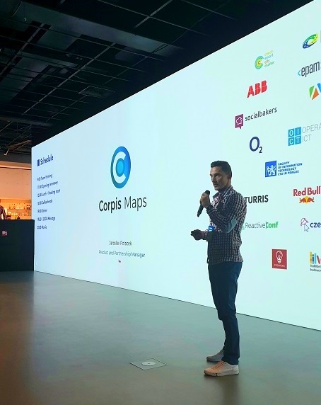
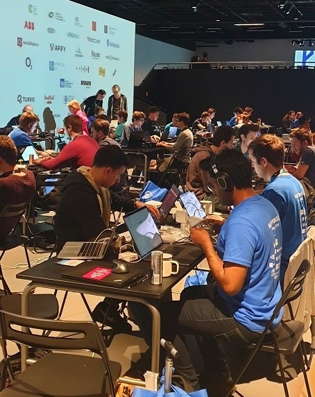
HackPrague is a premier annual hackathon in Prague (CZ) bringing more than 150 developers and designers from across Europe together to build their ideas. This year the organizers decided to go with one main challenge: “Use available data to improve the quality of life in cities”. Corpis Maps became a technology partner of HackPrague and the platform was available to all teams during the whole event. Corpis Maps Product Manager Jaroslav Polacek was nominated for HackPrague as a geospatial mentor and a judge, and was helping the teams with their innovative projects.
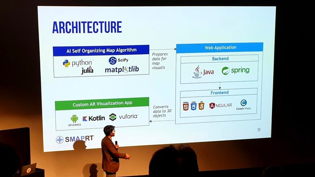
SMAPRT team decided to use Corpis Maps as their main visualization tool because of these reasons: – possibility of integration with their analytical solution – ease of use – various map visualizations – configurability – because they were under time presure and Corpis Maps allows to create analytical maps very quickly using the Corpis Maps Creator (visual configurator)
Their project (clustering of the Czech municipalities based on the custom combination of various parameters) was very successful and they won the 5th place in strong competition.
