Corpis Maps Releases Notes - June 2018
New version of Corpis Maps (configurable analytic map platform for business data) has been released. It is better, faster, more powerful and it remains extremely secure. The latest version has many new features and improvements including:
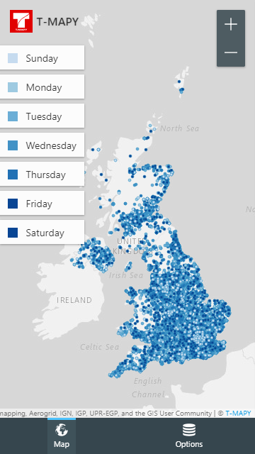
Mobile Device Support
You can view your analytic maps on any device including mobile phones and tables.
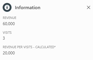
Calculated Metrics
You can create new calculated metrics from metrics in the raw data file. It is extremely powerful feature for creation new metrics like „Revenue/Number of Visits“ or „Contracts/Number of Calls“. It works for both points and aggregations.
CSV File Format Support
Corpis Maps can now read the raw data from a CSV file, so you can choose whether you put the raw data into a JSON or a CSV (UTF-8) file.
Faster Than Ever
Corpis Maps is now faster than ever before. It includes everything from loading the app, reading the data from a raw data file to loading aggregation polygons.
Zoom In/Out Buttons
Especially useful on devices without a multitouch touchpad.

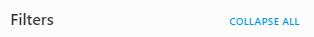
Expand All/Collapse All Buttons
You can easily expand or collapse all filters with the new buttons. In configuration you can define the default state of a filter to Expand or Collapse. You can also order the filters.
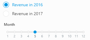
Data Series
You can use data series to see how a selected metric (e.g. revenue) changes in time. Moreover you can quickly jump between two or more data series (e.g. same month in two years) without a need to move the slider handler.
Personalization
You can personalize a Corpis Maps application with your company logo and the company name.
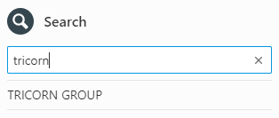
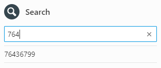
Search
Search now supports text and number values.
Values in the Information Panel
In configuration you can define whether a value will be shown in the Information panel of a point, polygon or both. You can also order the values in the Information panel.
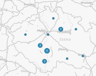
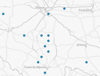
Clusters
Clusters can now be optionally shown as clusters until a zoom level you define in configuration. If you zoom in even more, the points appears.
Data Attribution
You can add a text attribution with a link on the map. It will appear in the right bottom corner.

All clients have immediate access to this version of Corpis Maps. For more information about Corpis Maps or live demos, visit the official product website: