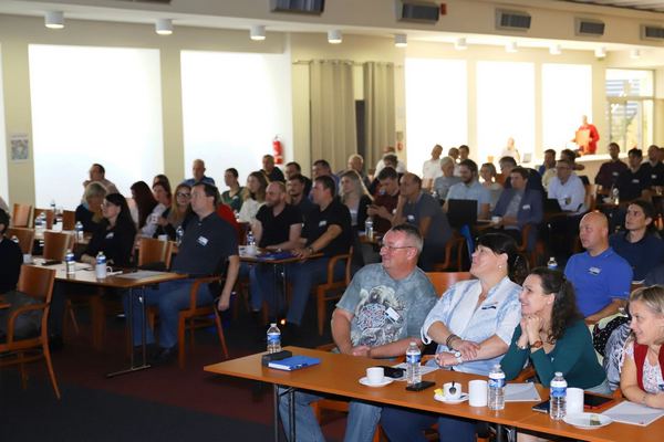
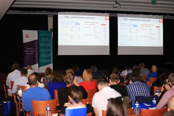
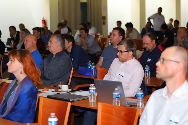
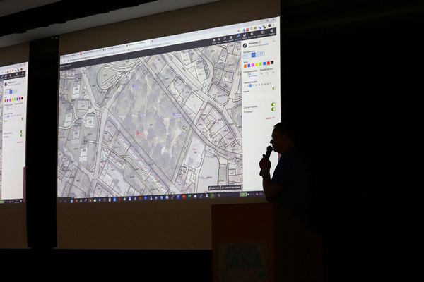
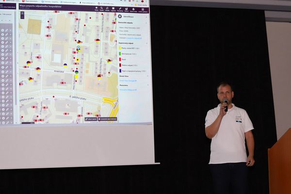
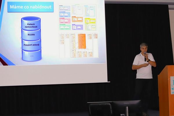
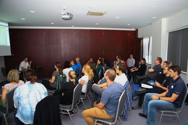
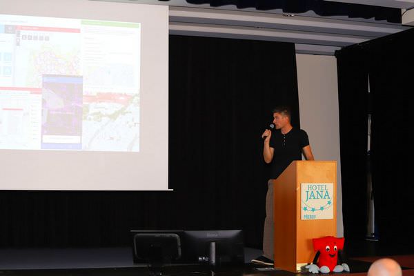
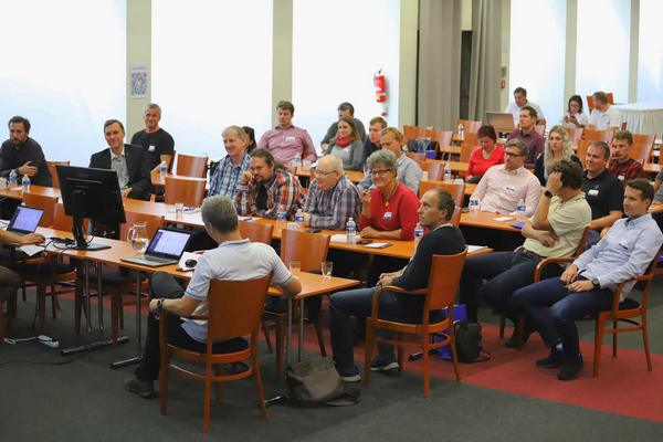
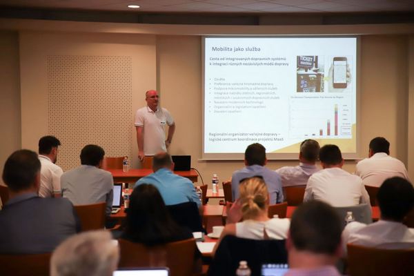
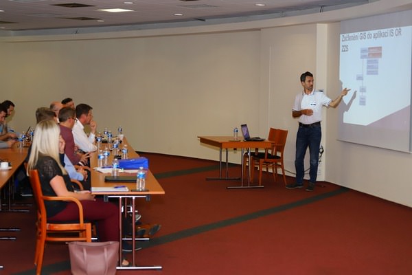
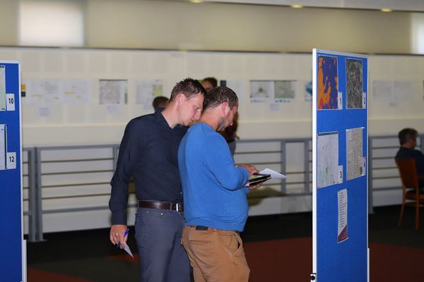
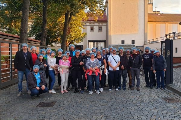
Nearly 160 asset management professionals, representing more than 60 organizations, came together in Prerov, Czech Republic to discuss industry trends such as data driven decision making, SMART Cities and IoT integration. Meeting at the T-MAPY annual user conference, delegates from government organizations mixed with retail, public transport and emergency services professionals to discover the latest developments in geoinformatics and were presented with updates on the award-winning Assetino Asset Management software.
Delegates at the two day event had a choice of around forty sessions to attend with options including Assetino demonstrations, customer experience presentations and an overview of T-MAPY’s activities in its role as the leading architect of digital technical mapping in the Czech Republic.
Assetino presentations included new module demonstrations; Waste, Cemeteries, Water and Sewage and others, new platform features including smart asset management tools and advanced asset analytics as well as solutions for GeoBIM and GeoFaM (geo-enabled Facilities Management). Assetino customers also delivered examples of Assetino implementations and in-use projects, complete with positive user experience and market feedback.
“It is always exciting to bring together professionals who have a diverse a range of backgrounds and operating sectors but all have one thing in common,” commented Milan Novotný, CEO of Czech based T-MAPY the company behind Assetino. “For us it’s all about location; locating assets, locating customers, locating service users. This conference clearly demonstrated that if you can accurately record, manage, analyse and present detailed locational information, using Assetino for example, then you can improve decision making and service delivery.”
Recently ranked in the top ten asset management solutions in Europe the Assetino product suite includes easy to use tools for collecting, recording, interrogating and analysing detailed information about the location, type and condition of virtually any asset. Offering a geospatial approach to asset management, Assetino provides users with real time visibility and intelligence for a range of applications including cemetery management, waste and recycling, water and sewage and others.
In fact, the Assetino product suite contains more than a dozen easy to use, configure and integrate modules including Public Lighting, Roadways and Communications, Street and Park Equipment, Monument and Advertising, for example. And, as demonstrated at the user conference, Assetino is already supporting informed decision making and improved service delivery and reaping benefits for thousands of users within public sector organizations across Central and Eastern Europe.

